



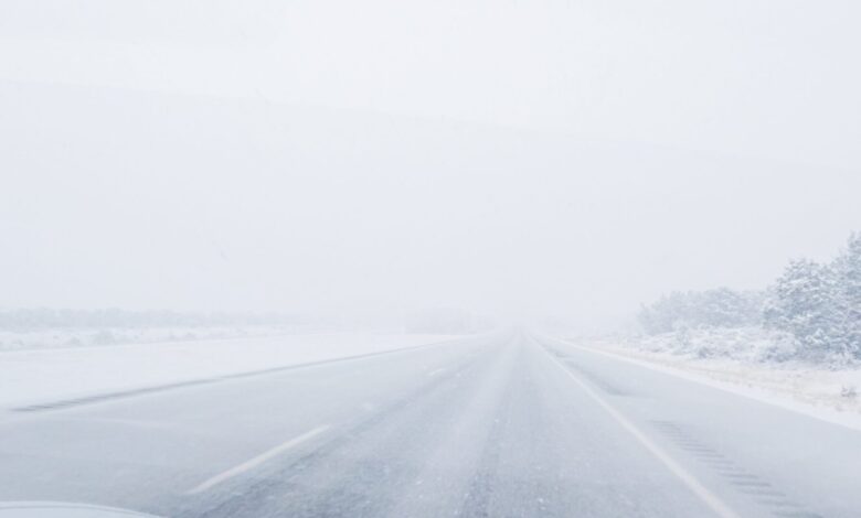
A fast-moving winter storm system will move through northern and northeastern Iowa today, bringing snow showers and strong northwest winds from around midday into early tonight.
Snow accumulations are expected to remain light—around an inch or less—but the primary concern will be wind gusts that could reach up to 50 mph. Those strong winds will blow both falling snow and snow already on the ground, significantly reducing visibility and creating near-blizzard conditions at times. Visibility may drop below one-quarter mile in the worst conditions.
The National Weather Service has issued a Winter Weather Advisory for portions of northern into northeastern Iowa. The advisory is in effect from 11 a.m. to 11 p.m. CST.
Travel is expected to become very dangerous due to snow-covered roads, slippery conditions, and strong crosswinds, with the greatest impacts likely during the evening commute. Gusty winds may also bring down tree branches.
Drivers are urged to slow down, allow extra stopping distance, and use caution while traveling. If possible, consider delaying travel until conditions improve later tonight.
Stay Connected with Mix 107.3 KIOW
Add Mix 107.3 KIOW as a preferred source on Google to see more local news, weather, and sports in your feed.
Follow us on Facebook for breaking news, severe weather alerts, sports, and more.

