


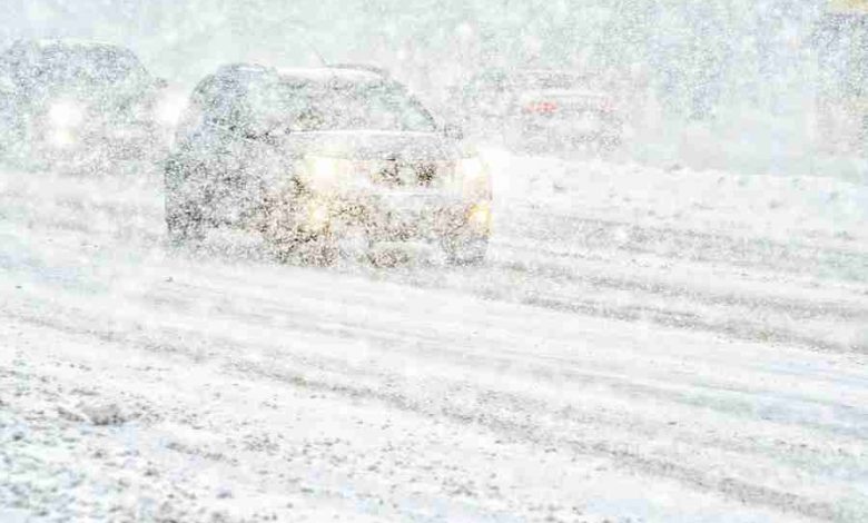
Forecasters say another storm system is expected to reach the state later this week that could bring snow across the area and rain to the south parts of the state. Meteorologist Cory Martin, at the National Weather Service, says the divider line between snow and rain runs from Council Bluffs to Des Moines to Cedar Rapids to Dubuque, but just a few degrees shift in the temperature could make all the difference.
Once the sun sets on Thursday night, Martin says those conditions could change, or not, as the system is still developing.
Wide sections of north-central and northeast Iowa may see two or more inches of snow, which could make driving hazardous from Mason City and Forest City to Decorah.
Keep up with the developing forecast at kiow.com.